
WHO I AM
GIS Analyst & Geospatial Data Scientist
I am a dedicated professional turning complex location data into actionable intelligence. With deep expertise in Python, R, and ArcGIS, I specialize in automating spatial workflows and developing precision mapping solutions. My work bridges traditional GIS with modern Data Science, integrating GeoAI and Drone Mapping to solve real-world problems efficiently.
Live High Resolution NDVI Analytics
Real-time Sentinel-2 simulation showing crop health variability.
My Expertise

Enterprise GIS & Data Infrastructure
Robust infrastructure setup, server management, and spatial database optimization for large organizations.
Explore
Remote Sensing & Earth Observation
Advanced satellite imagery analysis, classification, and change detection using multi-spectral data.
Explore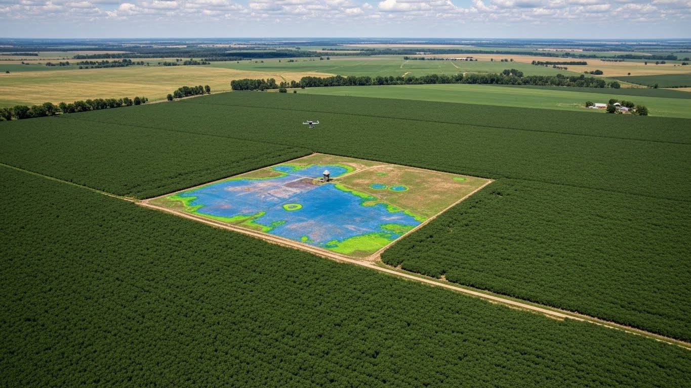
Precision Agriculture
Crop health monitoring using NDVI and drone multispectral data for smart farming solutions.
Explore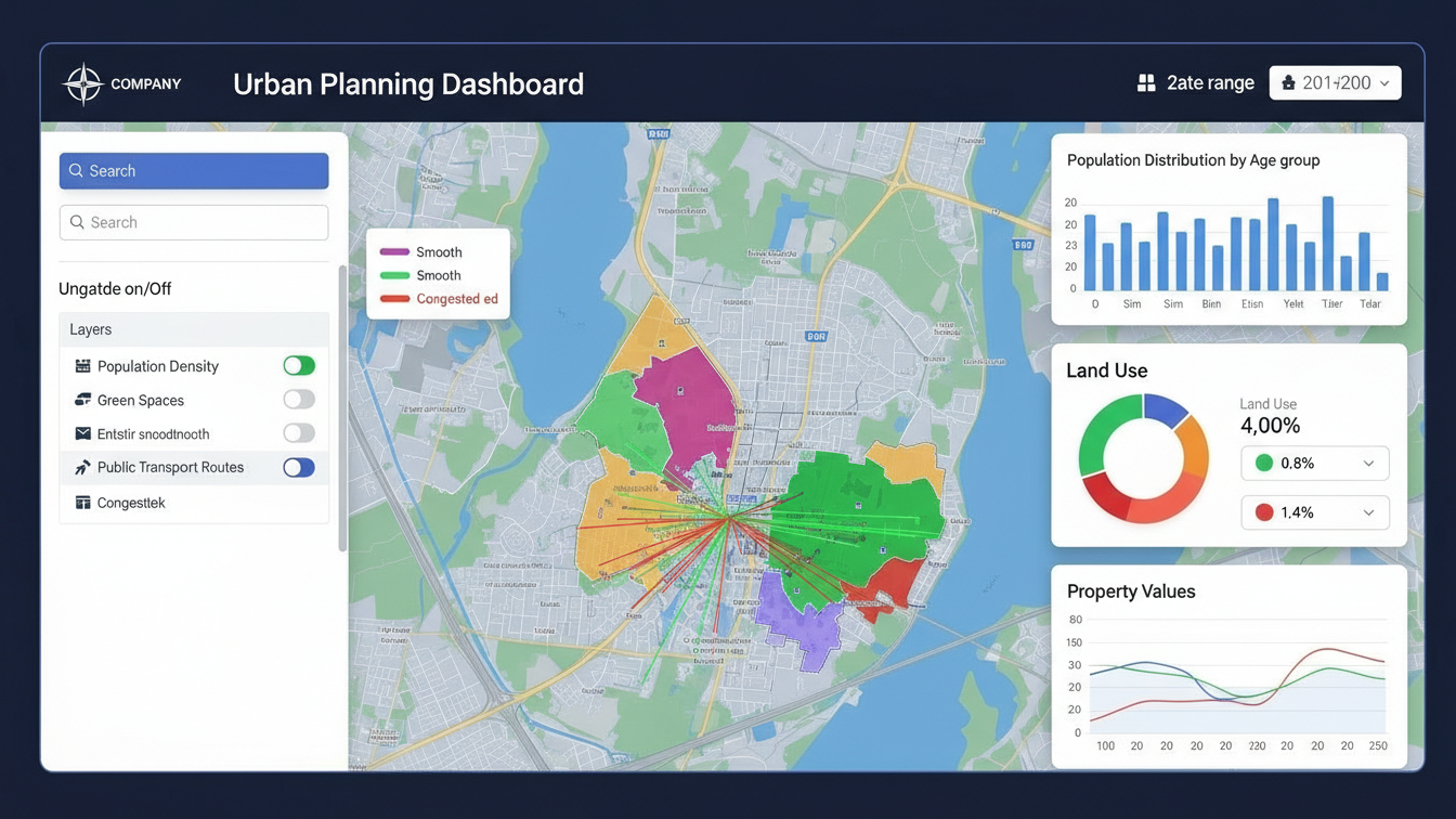
Web GIS & Digital Platforms
Interactive dashboards and web mapping applications using Leaflet, Mapbox, and OpenLayers.
Explore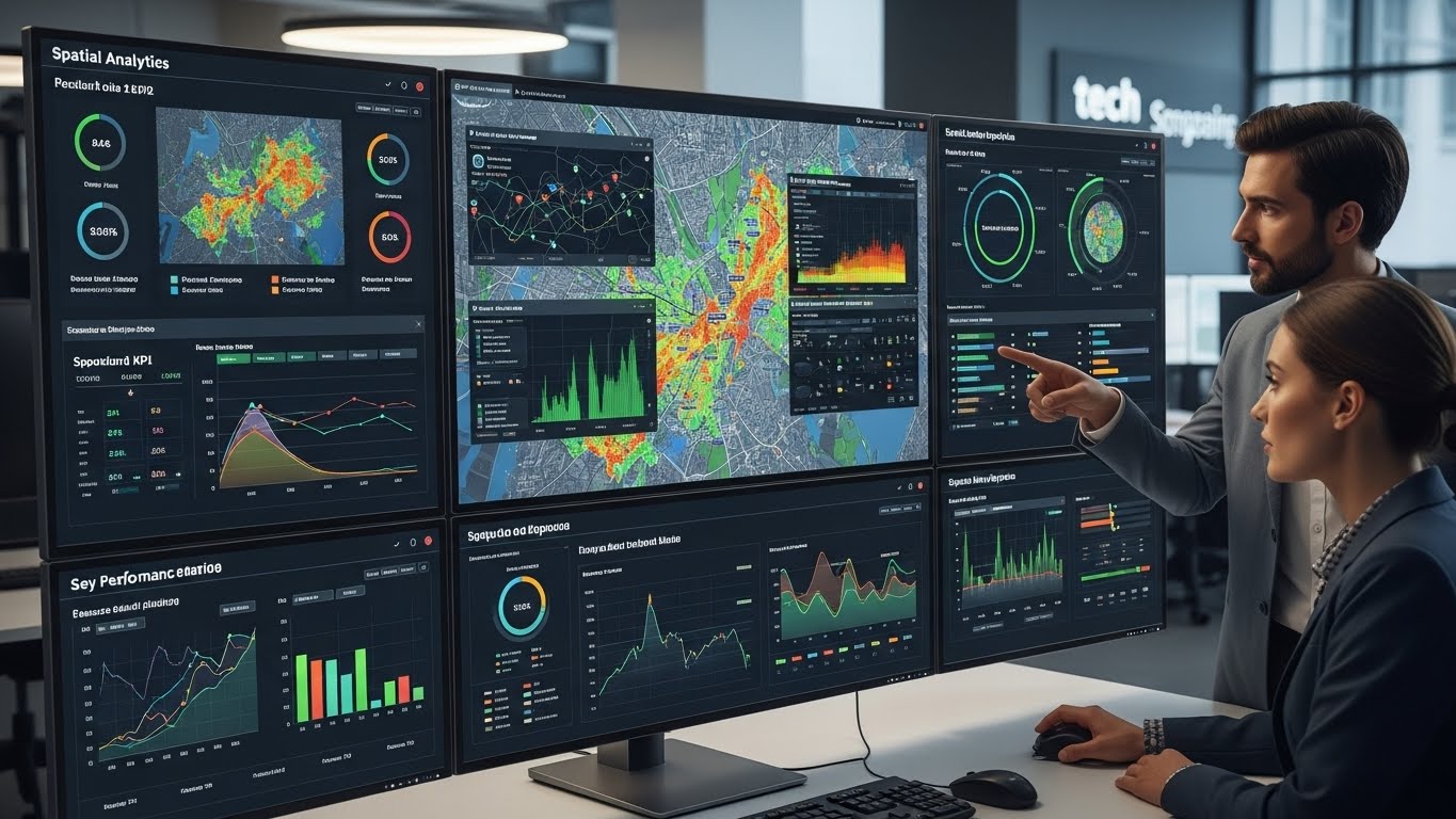
Spatial Analytics & Decision Support
Data-driven spatial modeling and complex geoprocessing workflows for better decision making.
Explore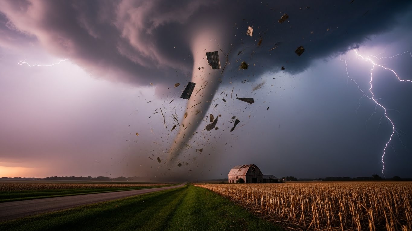
Disaster & Climate Resilience
Flood risk assessment, landslide hazard mapping, and mitigation planning for safer communities.
Explore
Urban Planning & Smart Cities
Smart city land use planning, zoning, and suitability analysis for sustainable urban development.
Explore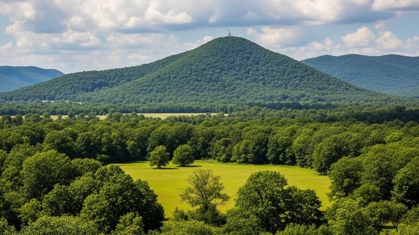
Environmental & Natural Resources
Natural resource management, conservation mapping, and environmental impact assessments.
Explore
Social Science & Public Policy GIS
Demographic analysis, census mapping, and public policy decision support systems.
Explore
Machine Learning & GeoAI
Integrating Machine Learning and Deep Learning with spatial data for predictive modeling.
Explore
Surveying & Drone Mapping
High-resolution UAV surveying, Orthomosaics generation, and 3D terrain modeling.
Explore
Education & Capacity Building
Professional workshops, GIS training programs, and capacity building for teams and individuals.
ExploreSelected Works
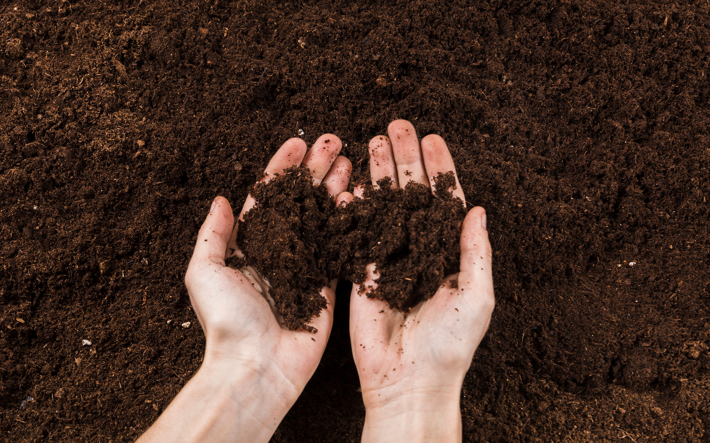
Soil pH Prediction (ML)
Machine Learning & Sentinel-2 satellite imagery analysis for Beyonsus Japan to predict soil health accurately.
View Case Study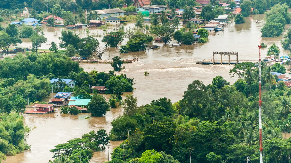
Flood Risk Assessment
Australia-funded geospatial analysis for Ayagama & Kalawana areas to identify high-risk flood zones.
View Case Study
Transport Cube Modeling
Advanced GIS-based transport network analysis and route planning developed for the NTC Sri Lanka.
View Case StudyPowering Spatial Analysis With
What Clients Say
Trusted by researchers, urban planners, and environmental agencies worldwide.
"Dinuka's expertise in Remote Sensing helped us identify critical forest cover changes with amazing precision. The NDVI analysis provided insights we simply couldn't get elsewhere."
Dr. Johon Valix
Environmental Researcher
"The flood risk maps provided were crucial for our urban planning project in Kalutara. The delivery was timely, and the data visualization was highly professional."
Kasun Perera
Urban Planner
"I was impressed by the custom Web GIS dashboard. It made visualizing our agricultural data so much easier for our stakeholders to understand."
Ameen Sing
Agri-Tech Startup CEO
Let's Build Something
Amazing Together
Have a project in mind? I am available for freelance work and consultations.
Colombo, Sri Lanka