Project Overview
This project involved a comprehensive flood risk assessment for the Ayagama and Kalawana Divisional Secretariat areas in Sri Lanka, conducted under a fully funded initiative by Australia. The region is known for its complex topography and susceptibility to seasonal flooding, requiring a detailed spatial analysis to mitigate risks.
The study aimed to identify flood-prone areas, assess community vulnerability, and support evidence-based disaster risk reduction. By utilizing advanced GIS techniques, we provided local authorities with the necessary data for better urban planning and disaster preparedness.
Key Objectives & Methodologies
- Hazard Mapping: Identifying high-risk flood zones using hydrological modeling and historical data.
- Vulnerability Assessment: Analyzing the exposure of settlements, infrastructure, and agriculture to flood risks.
- Evidence-Based Planning: Providing actionable insights for local-level planning and Disaster Risk Reduction (DRR).
- Spatial Analysis: Using advanced GIS tools to visualize risk patterns and drainage networks.
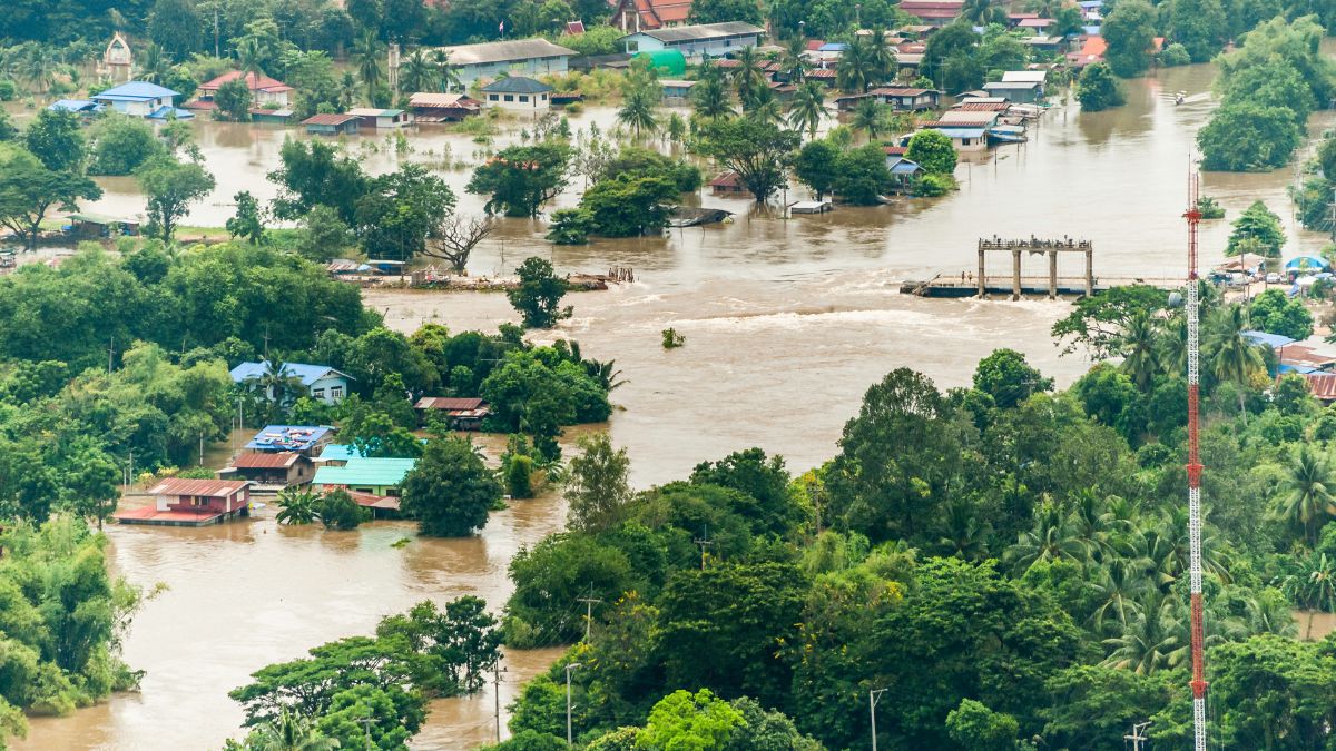
Figure 1: Flood Hazard Zonation Map (Conceptual)